Information on Naryn region
Author: Naryn Regional Library,
Rating: 5.0 ☆
Format: PDF,
Language: Kyrgyz
Genre: History,
Tag: Naryn,
Currently available
Total number of books: 0
For the time being: 0
The book was read: 2331
Google + аркылуу кирүү
Registration
Биздин электрондук китепканага болгону 50 сомго онлайн окурман болуп жазылып бир жылга баардык китепти онлайн окууга мүмкүнчүлүк алып, сайттын мындан аркы өнүгүшүнө салым кошууңуздарды суранабыз...

Бизден окурмандык билет алуу жана жазылуу онлайн электрондук китеп окуу боюнча кененирээк маалыматты --->>> 0555018827 вотсап номеринен алсаңыздар болот.
Contents of the book:
Naryn region is located in the central and southeastern part of the republic. Founded in 1939 (under the name Tien Shan). It was dissolved in 1962 and reorganized in 1970. Naryn and Issyk-Kul regions were united in 1988 and divided again in 1991. The territory of the region is mountainous, the lowest point is 1500 m above sea level (in the Jumgal valley). The highest point is 5982 m (Dankova peak in the Kakshaal ridge). It borders on the Issyk-Kul region in the northeast, Chui region in the north and northwest, Jalal-Abad region in the west, Osh region in the southwest and China in the south and southeast. There are five administrative districts in the region (Ak-Talaa, At-Bashi, Jumgal, Kochkor, Naryn), one city (Naryn), two villages (Dostuk, Min-Kush), one hundred and thirty-eight villages. The Bishkek-Torugart highway of international importance passes through the territory of the region and the Naryn River flows. The area of the region is 45.2 thousand km2. The population is 263.1 thousand people. The capital is the city of Naryn.Naryn region is located in the central and southeastern part of the republic. Founded in 1939 (under the name Tien Shan). It was dissolved in 1962 and reorganized in 1970. Naryn and Issyk-Kul regions were united in 1988 and divided again in 1991. The territory of the region is mountainous, the lowest point is 1500 m above sea level (in the Jumgal valley). The highest point is 5982 m (Dankova peak in the Kakshaal ridge). It borders on the Issyk-Kul region in the northeast, Chui region in the north and northwest, Jalal-Abad region in the west, Osh region in the southwest and China in the south and southeast. There are five administrative districts in the region (Ak-Talaa, At-Bashi, Jumgal, Kochkor, Naryn), one city (Naryn), two villages (Dostuk, Min-Kush), one hundred and thirty-eight villages. The Bishkek-Torugart highway of international importance passes through the territory of the region and the Naryn River flows. The area of the region is 45.2 thousand km2. The population is 263.1 thousand people. The capital is the city of Naryn.
Share information
Кайсыл электрондук китепти издеп жатасыз бизге тапшырык (заявка) калтырсаңыз биз санариптештирип электрондук вариантын сайтка жайгаштырып беребиз >> Электрондук китепке тапшырык калтыруу <<
Recommended books
Currently, the most popular books on the site
-
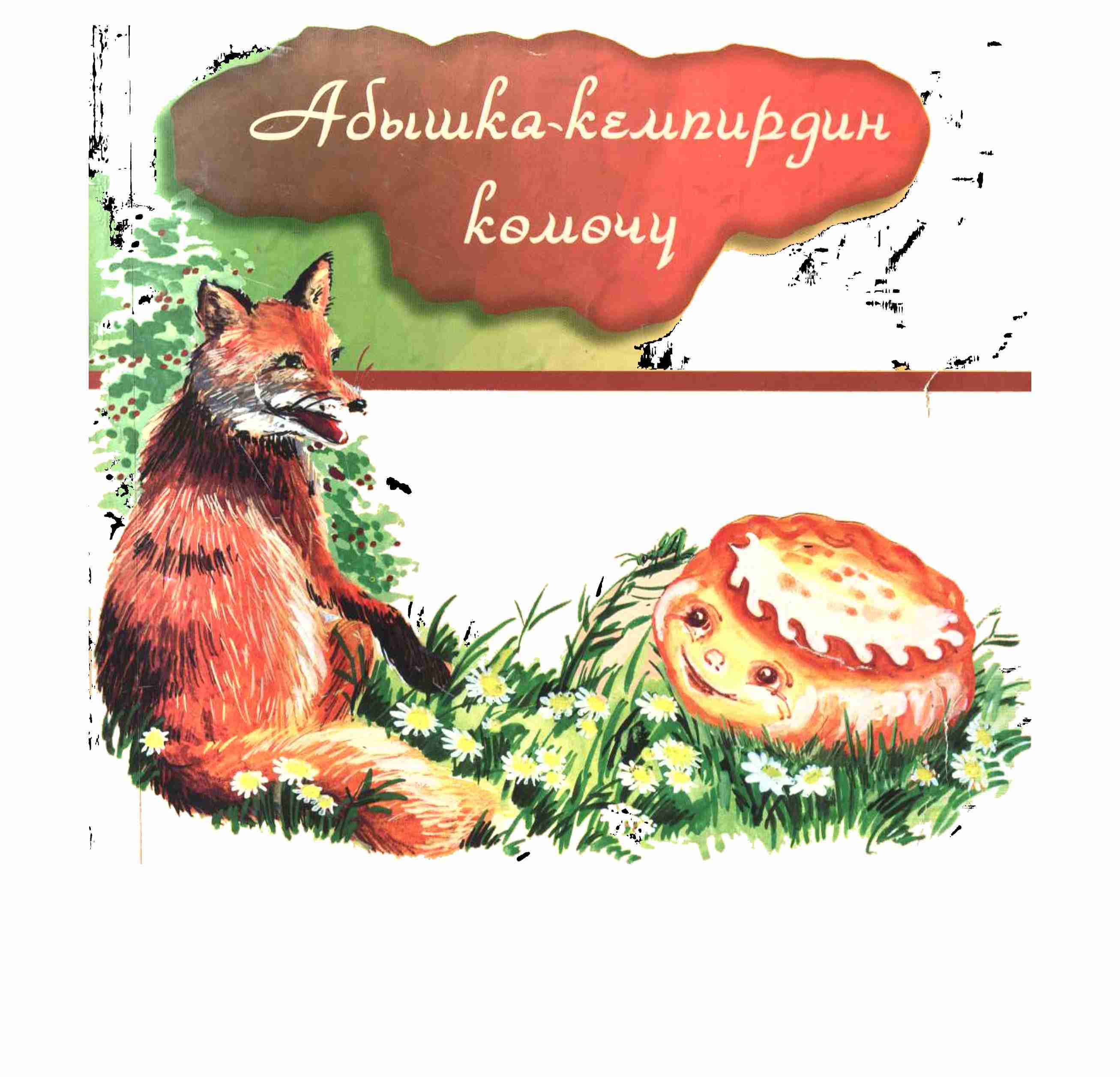
Fairy tale Kolobok
Author: S. Karymshakov
An old man and an old woman stand at the edge of the crowd. All means of subsistence - a bull, he keeps on the muzzle.
-
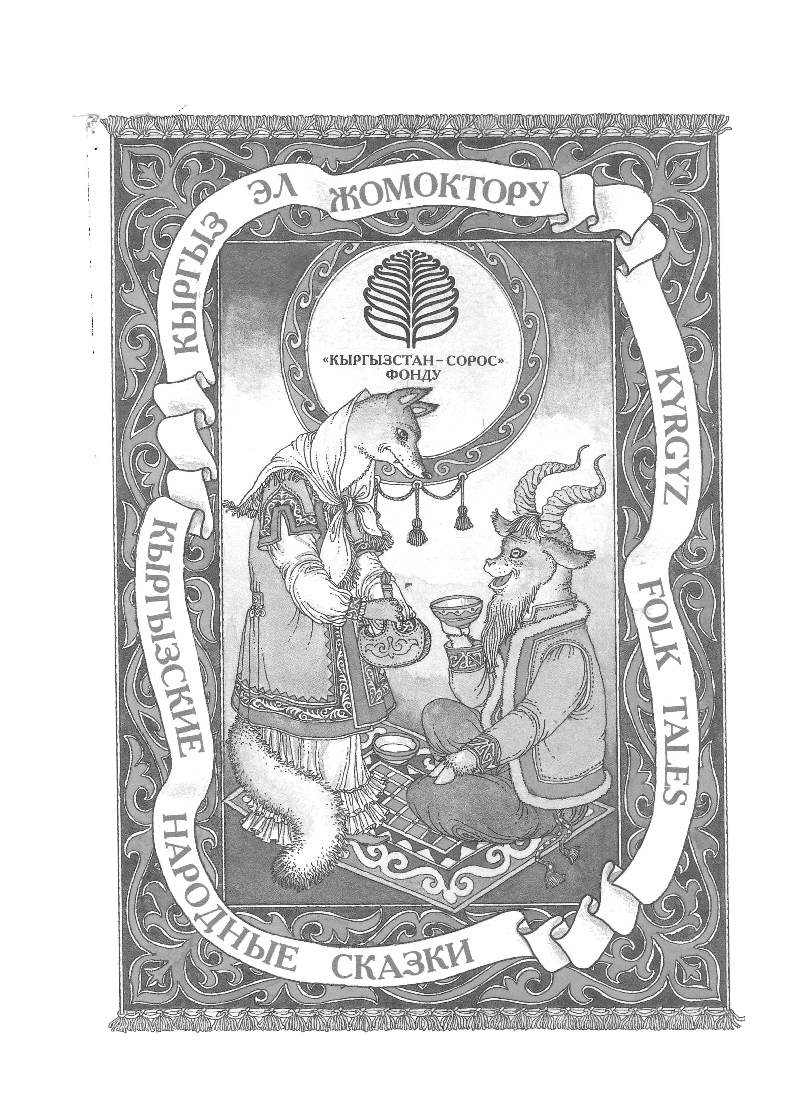
Kyrgyz folk tales 1998
Author: People's
ISBN: 9967-11-017-1
This edition, has been prepared under the «Transformation of the Humanities in the Kyrgyz Republic» program implemented by the Soros Foundation—Kyrgy…
-
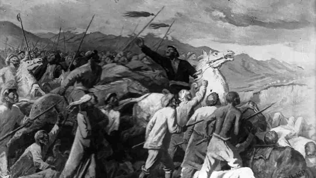
Red massacre, bloody battle
Author: Baktybek Makustov
ISBN: 9789967444195
In this book, in black letters, in the history of the Kyrgyz people of 1916, a bloody uprising for freedom, equality and justice is written, in which…
-
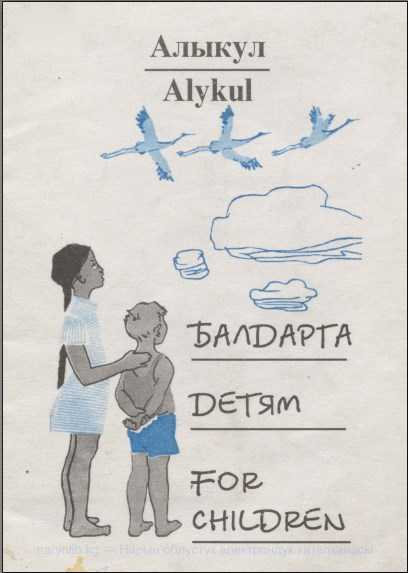
For children
Author: Osmonov A.
ISBN: 9967-20-418-4
The book is a collection for children published in Kyrgyz, Russian, and English on the occasion of the 85th anniversary of Alykul
-
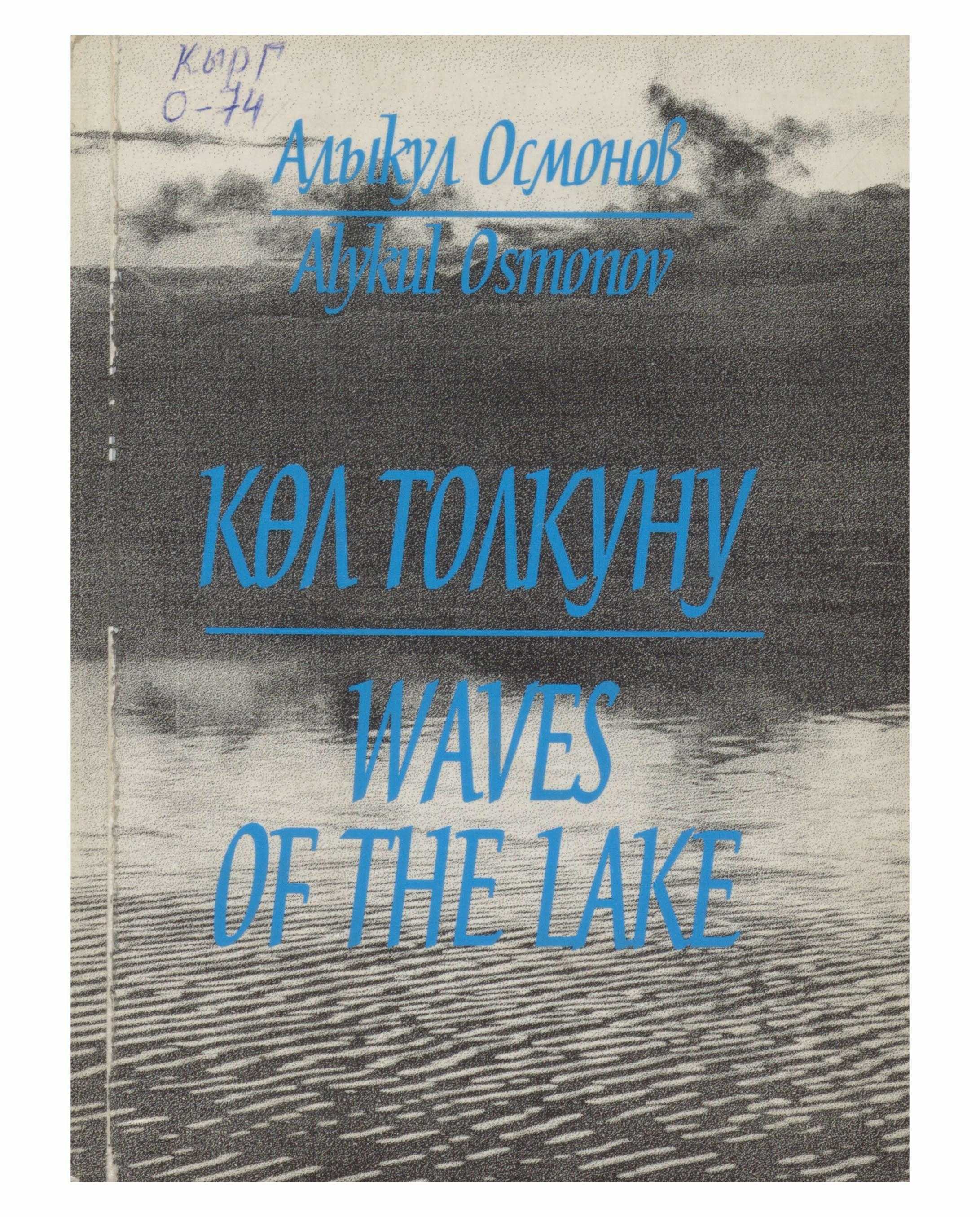
Waves of the lake
Author: Osmonov A.
Мындан көп жыл мурда Алыкулдун чыгармачылыгы,өмүрү менен таанышканымда эле акындын жүрөгүнөн оргуштап чыккан чынчылдыгын жана өз ишине ушунчалык жан …
-
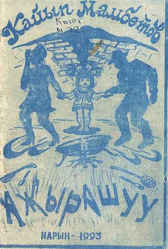
Ажырашуу
Author: Кайып Мамбетов
Kaip Mambetov was born in 1961 in the village of Zherge-Tal in the Tien Shan valley. His poems and short stories have been published in regional j…
Sign up to post a comment!